The world of data at your fingertips
What is Geodisy?
Find research data visually, spatially, and quickly.
Research data can be hard to find, and even harder if you’re researching a specific place. Geodisy changes that, giving you a window into the world of research data with map-based tools familiar to everyone. Search by place name, or by drawing a box around your area of interest. The world of research data is yours to discover. Geodisy is the software that enables you to do just that.
Why use Geodisy?
Data, and in particular research data, has always been difficult to find. Keywords can be hit-or-miss, and text-based descriptions don’t show you where your place of interest lies. Geodisy changes that, showing you where, not just what.
If you are running a research-data repository based on Dataverse, Geodisy will take your repository’s data, search for geospatial metadata and files, and copy them to a new system that allows for visual searching. Your original data and search methods are untouched; you have the benefit of both.
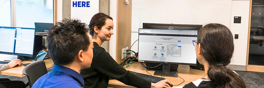
Who uses Geodisy?
People
Anyone interested in finding research data using location information or by demarcating a search area directly on a map–including researchers, students, journalists, etc.–will benefit from Geodisy’s search tools.
Institutions
Geodisy‘s first user is FRDR, Canada’s Federated Research Data Repository, which utilizes the software for the quick and easy discovery of Canadian research data. Anyone with the available infrastructure can plug in Geodisy and make a compatible repository more discoverable.
How does Geodisy work?
Geodisy is a separate server-software component that examines metadata, such as the study records for research data and any associated data. If Geodisy finds spatial data, metadata and data are harvested, then normalized to have the same geospatial metadata standard. Afterward, both data and metadata are injected into a geospatial data server and a viewer/search component.
Geodisy consists of middleware (a piece of software living on a server, not directly accessible to end users) that:
- Harvests data and metadata from a repository (initially Dataverse)
- Cleans and normalizes metadata and data found in study records
- Creates bounding boxes for datasets, if applicable, and reads geometry from compatible files, such as shapefiles
- Injects bounding-box data and/or geospatial data into a geospatial server, in this case, Open Geoserver
- Presents a visual search, in the form of a Geoblacklight front end
Where is the software?
Geodisy is open source
All of the software you need will be free and open source (FOSS). The Geodisy middleware component is available to download, or “fork”, from GitHub. In addition to Geodisy, you will need:
- A Dataverse repository (to harvest from)
- Open Geoserver (to house your data)
- Geoblacklight (so users can search)
Where can I see Geodisy in action?
Try searching yourself. See it in action at geo.frdr-dfdr.ca.
Where can I find documentation?
Geodisy documentation is available in our GitHub repository.
The Team
Core Project Team (UBC)
| Eugene Barsky | Principal Investigator | |
| Paul Dante | Software Developer | |
| Edith Domingue | Advanced Research Computing (ARC) Client Services Manager | |
| Mark Goodwin | Geospatial Metadata Coordinator | |
| Tang Lee | Project Manager | |
| Paul Lesack | Co-Principal Investigator | |
| Evan Thornberry | Co-Principal Investigator |
Project Partners
| Jason Brodeur | McMaster University | |
| Marcel Fortin | University of Toronto | |
| Alex Garnett | Simon Fraser University | |
| Amber Leahey | Scholars Portal | |
| Joel Farthing | University of Saskatchewan | |
| Venkat Mahadevan | UBC Advanced Research Computing (ARC) | |
| Todd Trann | University of Saskatchewan | |
| Lee Wilson | Portage Network |
None of this would be possible without our grant (RDM-059) from CANARIE, to whom we extend our thanks.
Geodisy in the news
UBC Library Research Commons launches open-source, geospatial data-discovery tool
Learn about Geodisy – Phase 2
Learn more about Geodisy
Look for us on Twitter! #geodisy
We are happy to chat. Contact the Geodisy team at geodisy.info@ubc.ca.